

I started from Tauranga Bay, the south end...


This is an Astrolabe... Able Tasman used an astrolabe like this to establish his position off this coast in 1642
The astrolabe is an instrument for determining the latitude by measuring the altitude of the sun at noon. A chart called an Ephemeris is used with the astrolabe to show the location and altitude of the sun for the calendar year.
Each day at noon a sighting is taken of the sun. The angle of the sun at noon is taken off the astrolabe.
The position of the sun at noon each day is known by looking at the Ephemeris for that year.


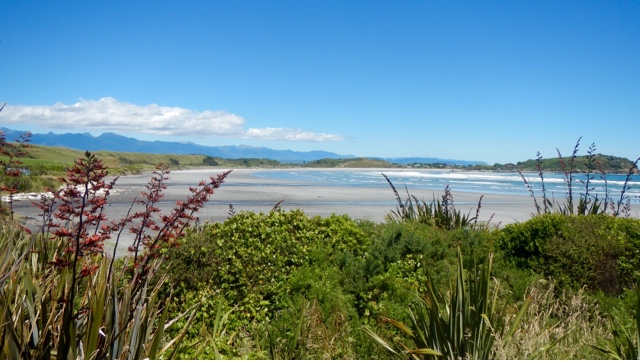
Siberia Bay... So called by the mining men who worked here quarrying the rocks. They dug tunnels, placed dynamite at each end then blasted the rock. Cranes loaded it into railway wagons and took it 12 km's to be used for building breakwaters. In 1914 the railway was extended to Tauranga Bay, a tunnel was built under the present walkway, since collapsed. The Buller River breakwater was built from stone quarried here in the 1960's. It was called Siberia Bay because of the freezing south westerly winds that blew in.


No comments:
Post a Comment