
With everybody sorted out and breakfast over we set off on the last
21km of sealed road to the Cape... It was a very blue clear day...
21km of sealed road to the Cape... It was a very blue clear day...

Not far along the road we caught sight of the Te Paki sand dunes...
In the distance over the hills...

They came closer the further north we went... The dunes rise to 140
meters above sea level, have been pushed 5 kilometers inland and are
wonderfully sculpted by the powerful westerly winds that blow off
the Tasman Sea. They are accessible from the Te Paki
Stream and an amazing place for sand surfing.
Here, they are nearly to the coast...

And at the foot of them is the Te Werahi wetlands area...
A large freshwater wetlands system, which has three raupo
swamps linked by narrow sandy streams.

Further along the road our first glimpse of Te Werahi Beach and
Cape Maria van Diemen, the westernmost point of the
North Island of New Zealand.
This northern most tip of the Te Aupouri Peninsula from Cape
Maria van Diemen in the west to to North Cape in the
east... The Maori's call this piece of land Te Hiku o te Ika
(The tail of the fish) from the legend that tells how a giant fish
(the North Island) was pulled from the sea by Maui
while he sat in his canoe (the South Island). Geology. however,
has a different tale. The rocks compromising the uplands in
the Cape Reinga-North Cape region were formed by marine
volcanoes and sediment about 60 million years ago and
later overlaid by marine deposits. Between 2 and 5 million
years ago, they formed an island separated from the mainland by
a shallow sea containing other small upthrusted islands. Then
about a million years ago, sand, moved northward by the submarine
currents along the coasts of the North Island, built up into long
sandspits (tombolos) joining the islands together and
to the region around the town of Kaitaia.

Motuopao Island... Lying 200 meters offshore from Cape Maria
van Diemen is a nature reserve, home to breeding colonies of
fairy prion, white-faced storm petrel and black-winded petrel.
With rodent control it is also home to endangered lizards and
invertebrate animals... Access is restricted to special permit.
van Diemen is a nature reserve, home to breeding colonies of
fairy prion, white-faced storm petrel and black-winded petrel.
With rodent control it is also home to endangered lizards and
invertebrate animals... Access is restricted to special permit.

The entrance to the walk to the Cape Reinga lighthouse...

And there's the lighthouse in all its isolated splendour...
Visited by millions of people from all round the world.

On the walk, in this sheltered spot we found some good
specimans of Manuka and Kanuka
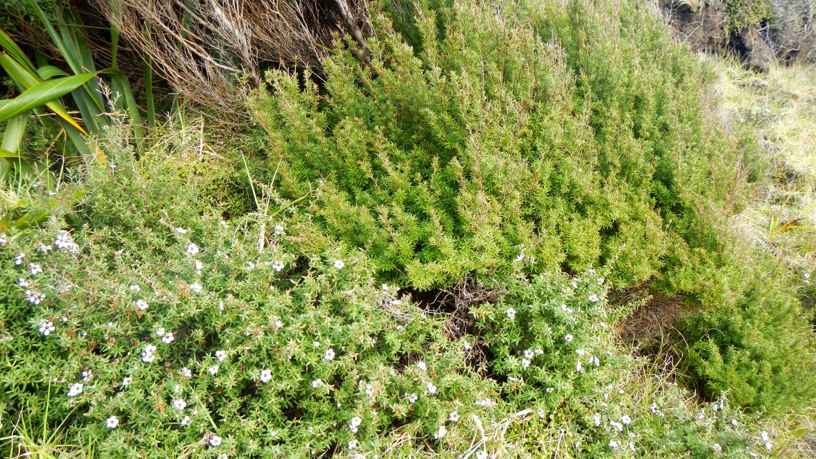
Manuka (Leptospermum scoparium),with it's lovely flowers that
give us delicious honey, and prickly leaves on the left,
a bushy shrub seldom more than 12-15 feet high...
And Kanuka (Leptospermum ericoides)
with its softer feathery foliage on the right, that grows into
a small tree up to 40 or more feet high.

The lighthouse... Formerly on Motuopao Island
originally had a 1000watt light bulb, magnified by the lens
system and threw a signal of warning 49kilometers out to sea.
In April 2000, the original light and associated equipment was
removed
and replaced with a modern rotating beacon illuminated by a
50
watt tungsten halogen bulb. The power for the new light is
supplied
from battery banks charged by solar panels.
The light is monitored remotely from Maritime New Zealand’s Wellington office.

At the end of the walk by the lighthouse is this information
board telling the story of the meeting of the Tasman Sea and
the Pacific Ocean. Actually the water disturbance is caused
by the Columbia Bank... But in wild weather the sea does
produce huge waves as the two seas meet.

This is the rock to the right of the base of the lighthouse
where... Maori Legend would tell us...
"It is here that after death, all Māori spirits travel up the coast
and over
the wind-swept vista to the pohutukawa tree on the headland of
Te Rerenga Wairua. They descend into the underworld (reinga)
by sliding down a root into
the sea below. The spirits then travel
underwater to the Three Kings
Islands where they climb out onto
Ohaua, the highest point of the
islands and bid their last farewell
before returning to the land of
their ancestors, Hawaiiki-A-Nui."

And looking east to North Cape which is 24kilometers away and
is the most north-eastern tip of NewZealand.
Look at this map for a distance comparison.
Because of it's rare plant and animal life it has been declared
a scientific reserve.
This whole area is a fantastic place to visit, DoC camping
grounds, coastal walks, huge sand dunes and lots of history. For
me an absolutely must go and do place where I can spend a lot of time.
No comments:
Post a Comment